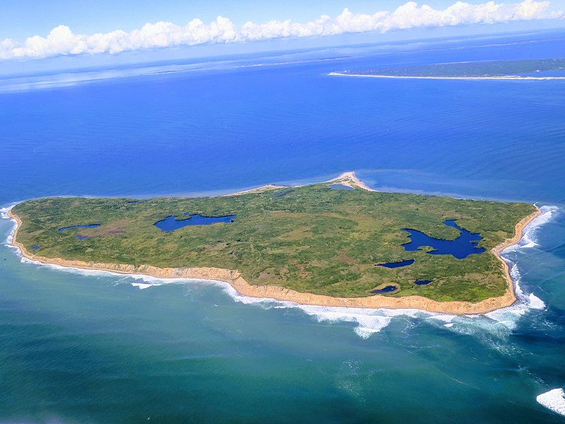
First of all, Nomans Land should not be confused with No Man’s Land which describes the land that separates two occupied areas which neither side controls. In the Second World War, this usually meant the space between the two factions’ trenches.
Nomans Land is a small island with a very different meaning and history although today it is still, in a way, “no man’s land.”
Early History
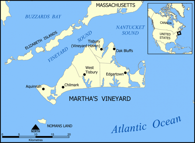
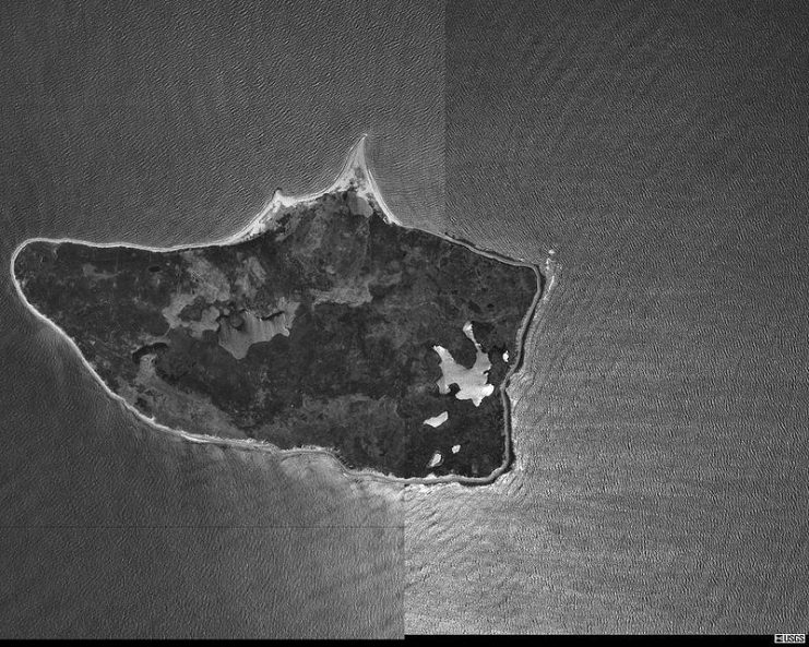
Nomans Land or Nomans Island as it is also known refers to a small island off the coast of Martha’s Vineyard about 3 miles (4.8 kilometers) to the southwest. It has an area of only around 628 acres.
Initially, it was this smaller island that was called Martha’s Vineyard. However, after a few years, its larger neighbor took the name in honor of the discoverer’s daughter. The smaller island then reverted to its previous name.
Most likely, its original name came from the Sachem (high chief) Tequenoman who had been in charge of the island around the time the first English explorers arrived. It was noted in the early records as being called such, and the name stuck.
The tiny island was occupied continuously throughout the colonial period although it changed hands frequently.
More recent history
By the early 20th century, the island was the property of the Crane family. It could easily have remained as private property barely known to most people beyond its immediate location in Massachusetts. However, its history changed dramatically in the 20th century.
The Second World War brought the US Navy to the island. It looked like the ideal location for a naval base. In 1942, construction of an airfield began which was used throughout the war.
After the war was over and it was no longer required as an airfield, the US Navy came up with new plans to make use of it. The island was still, at that time, in the private ownership of the Crane family. The sold it to the US Navy in 1952.
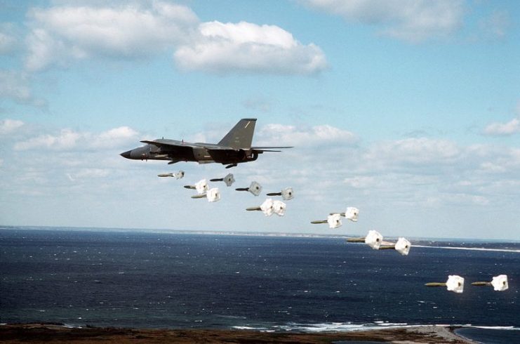
By 1954, the airfield had been abandoned by the Navy but having bought the land, they started to use it as a bombing range. It was used as a training ground for pilots in combat aircraft to practice attacking ground targets.
At that time, there was little awareness of the environmental impact of such activities and live ammunition was used in training.
The Aftermath
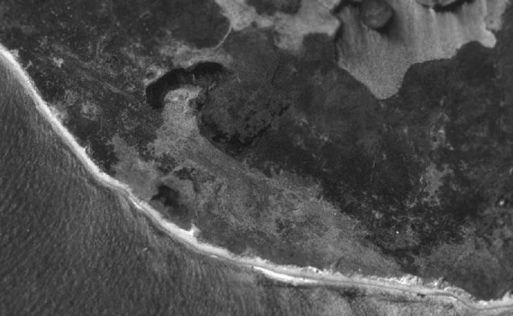
When the Navy finally left the island and ceased all training in 1992, the landscape had been dramatically altered. It was no longer a safe place for humans.
The result of more than 50 years of military activity had left behind a deadly legacy of unexploded ordinances across the land and beaches. The Navy tried to remedy the situation but repeated sweeps to remove the dangers have made little impact.
Many devices have been found and removed or defused. But the sweeps only pick up the ones on the surface. No one knows how many more bombs there might be hidden underground and out of sight,
Current situation
Today there is little obvious evidence of the previous human activity on the island. The ruined walls of some buildings – mostly old homesteads and a graveyard — are left over from the time when it was occupied and inhabited.
The leftover bombs and other devices also remain but are mostly out of sight, hidden underground.
As a result of the difficulty in clearing the island of its legacy of deadly unexploded bombs, a decision was made to ban public access and fishing.
Nomans Island is now officially part of the town of Chilmark, but in reality, it comes under the control of the Department of the Interior which has been responsible for it since 1998.
The public ban may have been disappointing to many as the island is still a place of beauty despite its history. But the risk to visitors is considered to be too great to allow access.
Of course, it is not difficult to reach, and occasionally people will try making an unauthorized visit. Those who do and are spotted will be escorted off the island. In addition, they will face a fine from the Fish & Wildlife Service officer.
A haven for wildlife
The result of banning public access has allowed the island to become a natural wilderness and a sanctuary for migrating birds. The birds’ natural predators have mostly disappeared as the result of the island being used as a bombing range.
Since it is undisturbed by human activity, a wide range of species have made this island their home. In particular, it is used as a stopping place for migrating birds on their way to the Caribbean or the Gulf of Mexico.
Species that can be spotted include northern harriers, oystercatchers, and roseate terns. Catbirds and double-crested cormorants have also been recorded as well as rare sightings of piping plovers which are an endangered species.
Since no one is allowed on the island, these birds can only be spotted by using the magnifying scope set up for viewing in Martha’s Vineyard.
It is also possible to take a virtual tour thanks to the internet. The Fish & Wildlife Service monitors and records wildlife activity of the island and makes around six visits per year.
The future
There are no plans to open the island to the public in the future. However, there is a possibility of allowing limited access for particular purposes. There have been discussions about allowing the local Wampanoag tribe, living on Martha’s Vineyard, to use certain parts of the island for ceremonial purposes.
Read another story from us: Top Bombers & Pilots of WW2
The Wampanoag traditionally have a historical connection with the island. It is believed that there are Wampanoag burial sites on there. There is also the belief that Tequenoman was of a chief the Wampanoag tribe.
If that is the case, then the island may be restored at least in part to its original inhabitants, both animal and human.
