The online dictionary Merriam-Webster defines reconnaissance as:
“a preliminary survey to gain information; especially: an exploratory military survey of enemy territory.”
It is a crucial feature of all military operations. Aerial reconnaissance usually produces photographs from high above the ground with few recognizable details.
In the lead up to D-Day, the Allied invasion of the French coast at Normandy in June of 1944, the Allies needed detailed surveillance. A few months before the planned landings, several planes from Britain’s Royal Air Force flew as low as just a few feet above sea level and only one thousand yards from shore, taking photographs. Considering the beaches were peppered with manned German bunkers, it was an extraordinarily perilous but successful mission. To confuse the Germans, the pilots flew all the way to Holland, taking pictures with automated cameras built into the nose of their aircraft.

Today, anyone who owns a cellphone can take a panoramic photo, but in 1944, pictures were taken separately and fastened together. In all, dozens of photos were taped together to form a twenty-six-foot panorama, showing landmark buildings and key beach formations. A note was attached to the pictures, stating it represented the:
“Coastal silhouette from Haut Lion to LaRiviere, taken at zero feet and at right angles to the coast: distance offshore about 1,000 to 1,500. Note: This silhouette is intended as an aid to coastal recognition and is NOT intended for navigational purposes.”
The note went on to explain the possible overlap and gaps between the pictures. It provided the commanders of the invasion with information on where the German bunkers were located, as well as significant rocks on the beaches and places to offload troops and munitions. The panorama was sold by Bloomsbury Auctioneers in London for £600 (US$850).
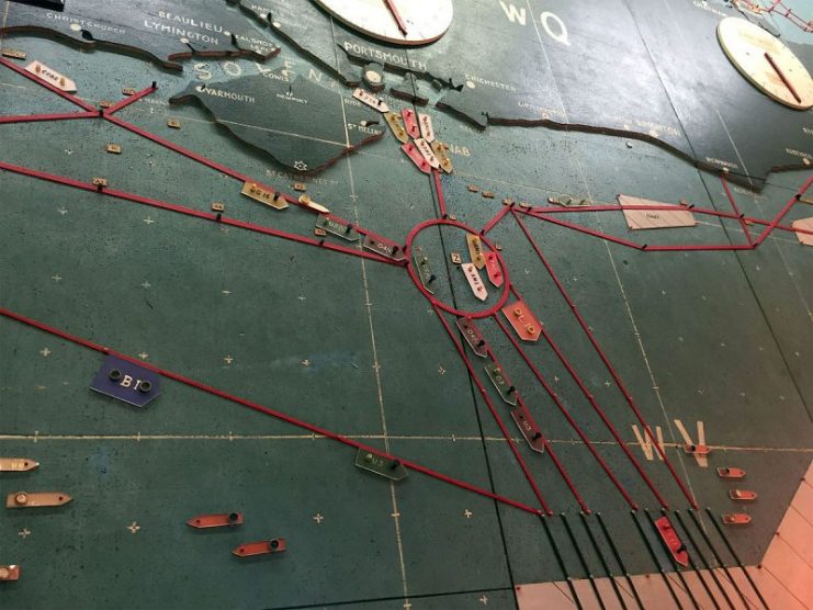
The Allied invasion along the coast of France, named Operation Overlord, is considered by many to be the turning point of WWII. It is, to date, the biggest amphibious invasion in history. General Dwight D. Eisenhower was in command. The United States Army was deployed at the northern end of the landings between Cherbourg and Le Havre at beaches code-named Utah and Omaha. The British were further southeast at beaches Gold and Sword, and the Canadians were between the two British lines at Juno beach.
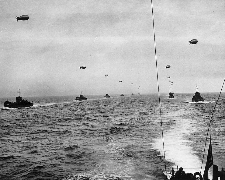
At dawn on June 6, 1944, thousands of paratroopers and air gliders landed behind enemy lines, with the intention of securing the area and joining up with the sea invasion as it moved inland. Over five thousand ships made their way across the English Channel from Great Britain and at 6:30 AM began the bombing raids and beach invasions, supported by heavy artillery following behind them.

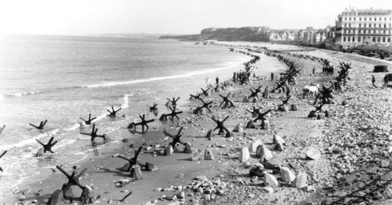
For all the brilliant planning and execution, the landing at Omaha beach did not go well. The beach was heavily fortified with mines and barriers, and the larger ships could not get close enough to shore to do any damage with their guns. The troops were ordered to the beach, but with no shelter, they were cut down in their hundreds. Field Commanders took matters into their own hands and beached their boats to provide artillery support and moved tanks and soldiers closer to the shore and away from the firing lines.
It took two weeks for the beach areas to be completely secured, enabling Allied forces to move inland with the ultimate goal of liberating Paris. However, the unforgiving terrain of the Normandy countryside made fighting difficult. Eventually, with aerial bomb support, at the end of August Allied forces reached the Seine River and entered Paris.
Today, the beaches of Normandy are tourist and vacation spots. People can visit the Caen Peace Memorial, a WWII museum, and follow in the footsteps of Allied soldiers on the beaches of Normandy.
Over nine thousand soldiers were killed and over fifteen hundred missing. Visitors can pay their respects to the fallen at the Normandy American Cemetery and Memorial in Colleville-sur-Mer.
