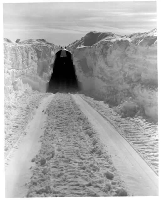
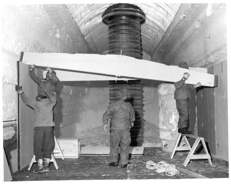
Those with in-depth knowledge of Cold War-era military history likely know about Camp Century, a secret American base that was constructed beneath Greenland’s ice sheet. Erected as part of Project Iceworm, it was intended to serve as an underground complex that was capable of deploying 600 “Iceman” ballistic missiles at the Soviet Union, should the need arise.
Operated from 1959-67, Camp Century was abandoned after officials realized the ice wasn’t as stable as previously thought. Since then, it’d largely been forgotten about – that is, until NASA accidentally captured an image of the subterranean base in April 2024.

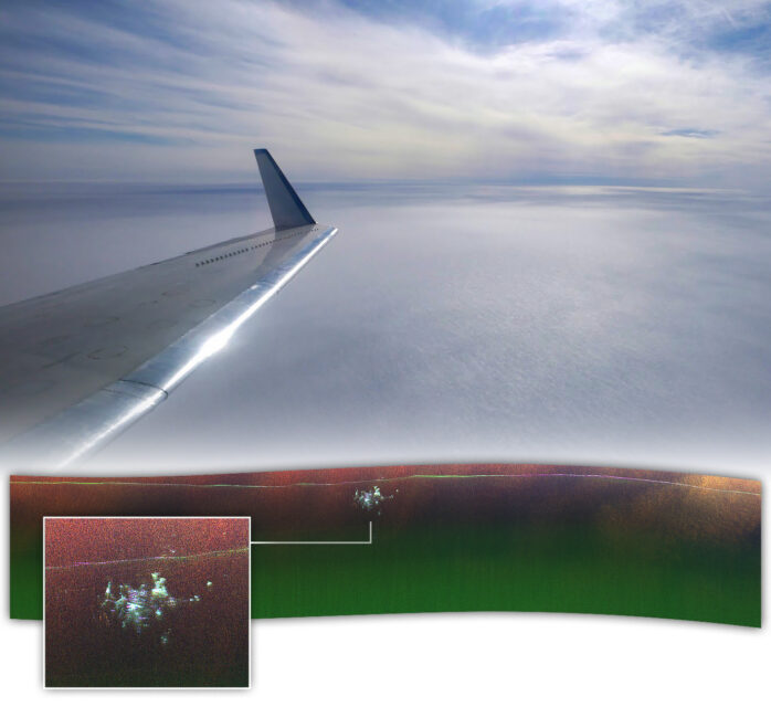
The unexpected rediscovery occurred while a NASA-operated Gulfstream III, manned by a team of scientists and engineers, was conducting research over Greenland’s ice sheet. Led by cryospheric scientist Chad Greene, the team was probing the nation’s ice, approximately 150 miles east of Pituffik Space Base, when their radar equipment detected something beneath the surface.
“We were looking for the bed of the ice and out pops Camp Century,” said Alex Gardner, a cryospheric scientist with NASA’s Jet Propulsion Laboratory (JPL), in a statement. “We didn’t know what it was at first.”

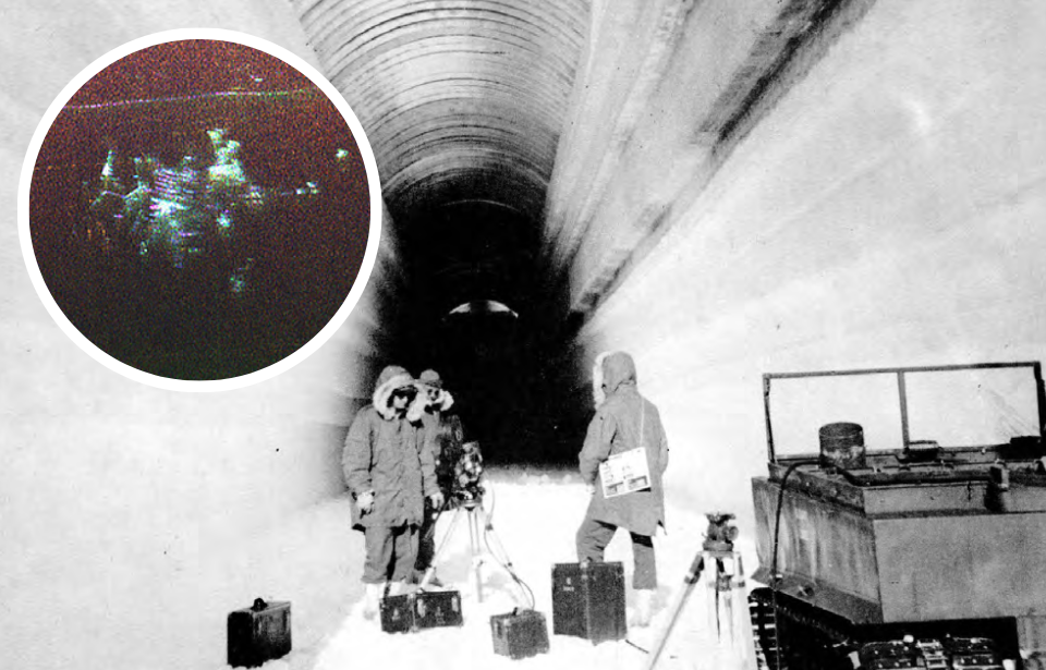
While this isn’t the first time radar technology had detected the Camp Century beneath the ice, the agency’s Uninhabited Aerial Vehicle Synthetic Aperture Radar (UAVSAR) has allowed a more dimensional image to be created. The new radar images were compared with historical maps, which appear to show that what was captured was, indeed, the Cold War-era complex.
“In the new data, individual structures in the secret city are visible in a way that they’ve never been seen before,” Greene stated, before adding, “Our goal was to calibrate, validate, and understand the capabilities and limitations of UAVSAR for mapping the ice sheet’s internal layers and the ice-bed interface.”
Essentially, they hadn’t planned to capture an image of Camp Century – it was an accident.

Despite being abandoned in the 1960s, Camp Century continues to post an environmental threat, thanks to continued thawing of Greenland’s ice sheet. There’s concern the melting ice will allow long-buried weapons, fuel and sewage to seep out, contaminating the surrounding area and beyond.
More from us: Upcoming Film ‘Never Alone’ Looks at Finland’s Deportation of Jewish Refugees in World War II
Want to become a trivia master? Sign up for our War History Fact of the Day newsletter!
“Without detailed knowledge of ice thickness, it is impossible to know how the ice sheets will respond to rapidly warming oceans and atmosphere, greatly limiting our ability to project rates of sea level rise,” Greene concluded, with NASA adding that the hope is the flight that resulted in the image will allow the agency to conduct future mapping campaigns of Antarctica and Greenland.
